
Hiking Trails
Our natural areas offer a wealth of recreational opportunities. Below you will find a list of trails and recreation areas in and around the Newfound Watershed. To find upcoming NLRA guided hikes, visit NewfoundLake.org/events.

Grey Rocks Conservation Area
Directions Trail Map
From the parking lot, follow signs, on foot, to the Cockermouth River Loop. A short walk brings you to the river platform across from the Charles Bean Sanctuary. After returning to the parking lot, hike along the Floodplain Loop to enjoy another viewing platform. Extend your hike further by walking the Sandy Point Trail. The sandy opening offers a great picnic area and views up to Bald Knob and Crosby Mountain.

Sugarloaf Ridge-Goose Pond Conservation Area
Directions Trail map
You may choose to park at the Wellington State Park (fee) or the Elwell Trailhead across the street (W. Shore Rd). The Elwell trail takes you to expansive views of the lake or the secluded Goose Pond area.

Paradise Point Wildlife Sanctuary
Directions Trail map
The Newfound Audubon Center trails lead you along the north shore of the lake with several views to the south. It is home to a fantastic Nature Center (seasonal) and kayak rentals.
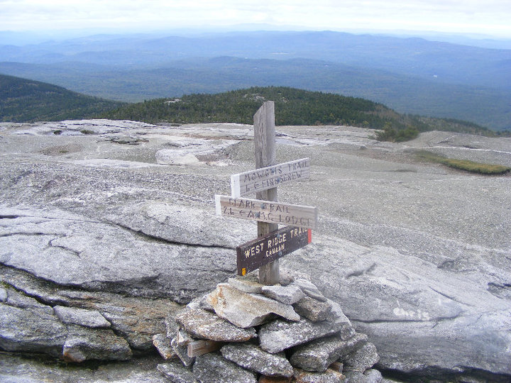
AMC Cardigan Lodge
Directions Trail Map
As part of the AMC trail network, Cardigan Mountain is a gem. It is known for it’s exposed summit with 360-degree views and a fire tower. This is a must for avid hikers in the lakes region. Feeling adventurous? Stay the night at the summit cabin, base lodge, or in a tent!

Slim Baker Conservation Area
Directions Trail map
Located near downtown Bristol, this area is loaded with hiking trails including Inspiration Point. From this point you can see Cardigan, Tenney Mountain, and beyond.
Hebron Town Forest
Cross the Cockermouth River and explore trails that take you through fields, forests, and along the water's edge.

Cockermouth Forest
Great views of the lake to the south from Mt. Crosby and Bald Knob, as well as home to the high elevation wetland “Little Pond”.
Plymouth Mountain
Newfound to the west, Squam to the east, and the White Mountains to the North.

Sculptured Rocks
A geological wonder in the heart of the Newfound Watershed. Bring a bathing suit!

Profile Falls
This 30′ horsetail waterfall is a short walk from the road and incorporates many miles of trails for mountain biking and hiking.

Bristol Falls Park
This path follows the Pemigewasset River from downtown Bristol to the junction of the Smith River. The first section has been paved, with future improvements to come!