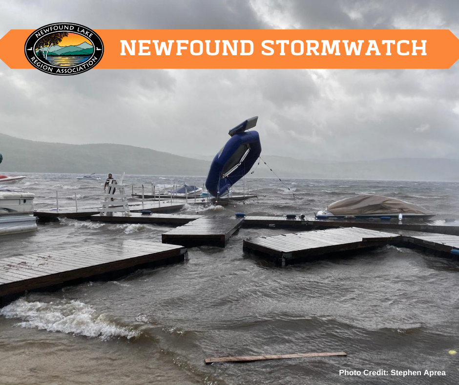
Large storms threaten Newfound with stormwater pollution, erosion and washout, and a decline in water quality. The impact is not only environmental, but social and economic as well. Our homes, roads, and businesses can be as severely affected as our water quality, making the work of stormwater mitigation and other efforts to improve Newfound’s resiliency to large storm events of utmost importance. Collecting water quality data before and after large storm events allows us to track the effect on Newfound, realize areas that are particularly threatened, and develop mitigation plans for future storms.
On August 4, 2020 NLRA’s storm team leapt into action, gathering water quality data as Tropical Storm Isaias rushed towards Newfound Lake. After a night of strong winds and some rain brought by the storm, Newfound residents and visitors woke to survey the damage brought by the storm, and our storm team headed out again to assess changes to our water quality.
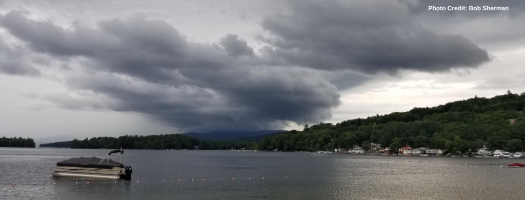
Previous storms, such as the 2019 July 12 storm, have shown that the Cockermouth River and the northern end of Newfound experience water quality impacts from larger storm events. For this reason, our water quality testing efforts before and after Tropical Storm Isaias focused on these areas. To view all of our sites, visit this Google Map.
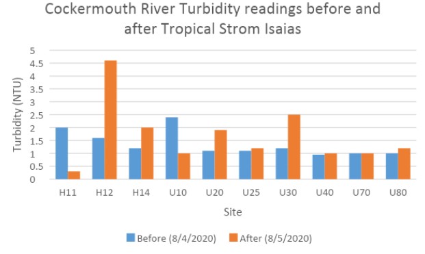
Roughly 35% of all water entering Newfound comes from the Cockermouth River. With the rough topography in the Cockermouth subwatershed, we look to turbidity readings to understand how large storms impact the River and the Lake downstream.
In water quality monitoring completed before and after the storm, we saw variability in the Cockermouth and its tributaries. The highest increase in turbidity occurs at the intersection of the Cockermouth River with Braley Rd, at site H12.
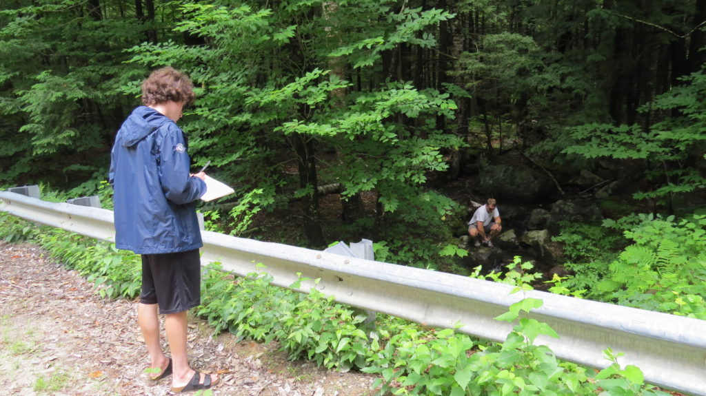
In lake sites, each sampling site saw declines of almost a meter or more in clarity. This was likely due to the turbulent wind, mixing the water with wave action. The Cockermouth site saw the biggest decline, being closest to the river delta while also taking heavy wave action.
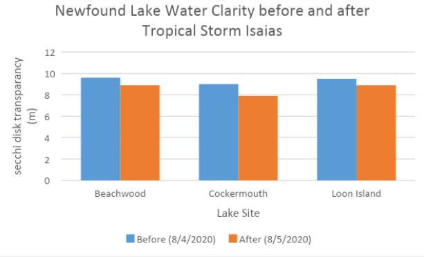
Other larger storms have caused a much more pronounced impact in water quality, such as impacts from last year’s July 12, 2019 storm and tropical cyclone Irene in 2011.
Fortunately, Tropical Storm Isaias had little water quality impact to the Newfound area. The impacts from wind however, knocked out power for many Newfounders, and wave action and wind impacted private property around the lake. NLRA continues to implement programs and initiatives to lessen the impact of large storms, and our storm team remains ready for when the next big one hits!
Learn more: newfoundlake.org/waterquality
Get Involved: newfoundlake.org/employment-volunteers

